Evaluate service availability, explore network assets, and analyze customer locations through a unified mapping platform.
Powered by high-resolution LiDAR data and advanced radio propagation modeling that accounts for terrain, buildings, and vegetation to deliver accurate, location-level coverage insights.
From the network inventory to the customer's roof
One workflow in one map: manage your network assets, visualize coverage, qualify customer locations, and verify the radio link.
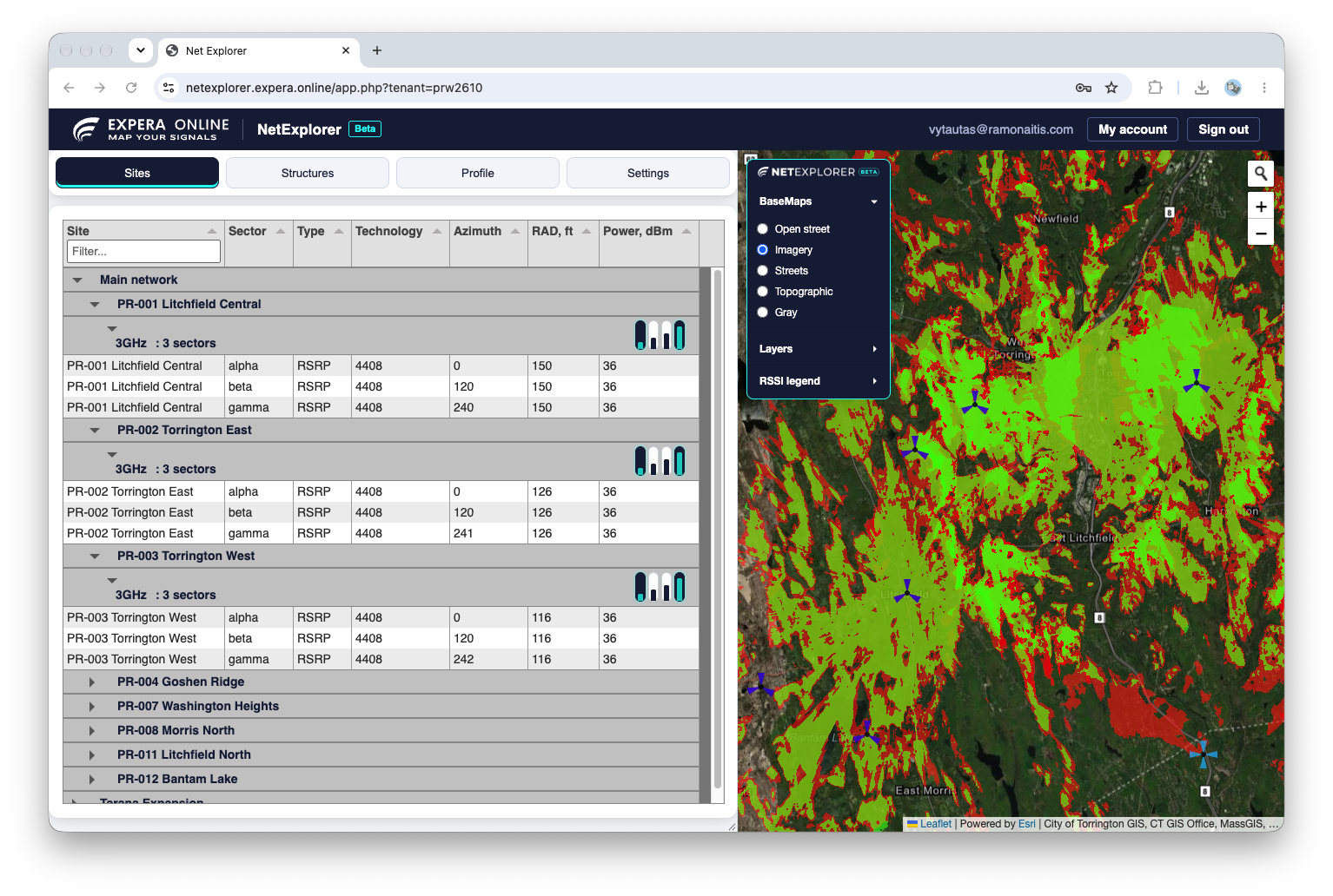
Explore network assets, sites, sectors, and coverage resources through a unified inventory interface designed for sales, support, installation, and operational teams.
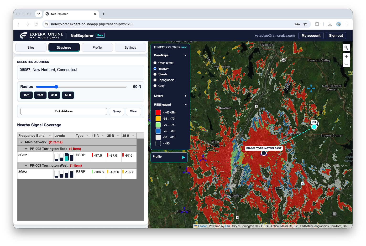
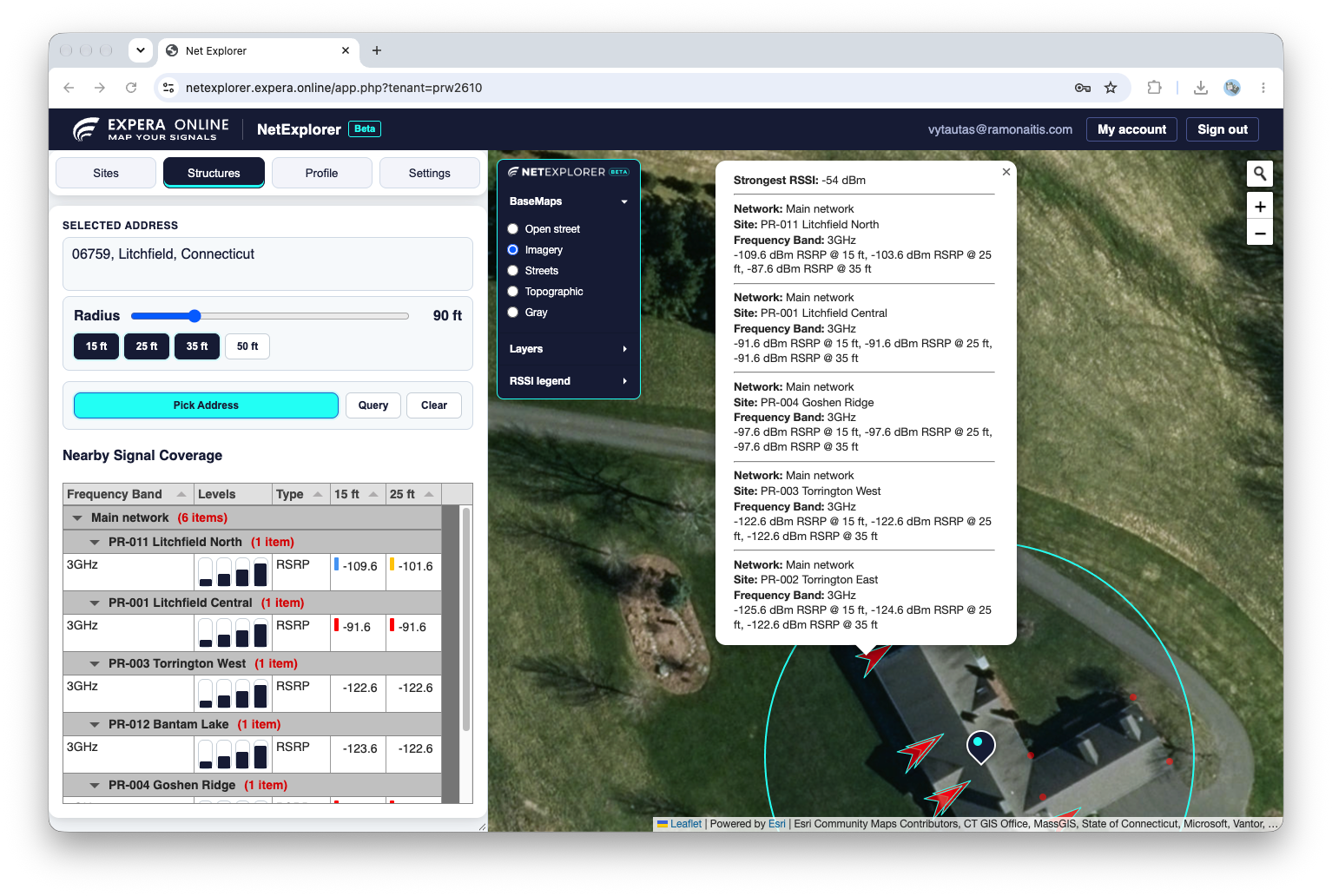
Interactive access to predicted signal levels across the network.
Built for service qualification and field deployment.
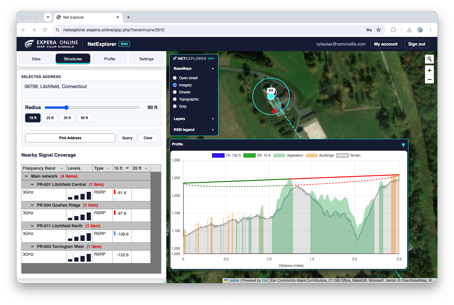
Interactive point-to-point path analysis in the browser. Generate profiles between network sites, customer locations, or any points you pick on the map, without an external RF planning tool.
 NetExplorerBeta